Superlative Country Road Names:
- Most Overused: Elm, Hillside, Maple, Oak.
- Most Biblical: Jerusalem, Locust, Jacob’s Ladder, Sodom.
- Most Charming: Pumpkin Hollow, Shamrock, Mount Hunger, Apple.
- Most Evocative: Wyantanuck, Larrywaug, Yokun, Konkapot.
- Most Obvious: Sheffield, River, Great Barrington, Water.
- Most Nepo Baby: Samantha Lane, Rachel’s Way, George Street, Brett Road.
- Most in Need of an Explanation: Bracken Brae, Adsit Crosby, Avenue, Bow Wow.
- Hardest to Live up to: Christian Hill, Beach Hill, Pleasant, Welcome.
- Most Adorable Intersection: Kirk and Hart.
- Most Irish: Dublin.
- Most Difficult to Confirm the Veracity of: Knox Trail.
Glossary of Some Country Roads:
Shun Toll/Shun Pike Roads: Side roads running more or less parallel to their respective main roads. These roads were developed around 1800 after the Massachusetts Turnpike Association instituted fees for travelers on the main roads, so travelers took them in order to “shun,” or “avoid,” the fees. From here on, Great Barrington’s East Street shall be known as Shun Main Street.
Blunt Road: Blunt presumably refers to a homesteader family of the early 19th century and not to the availability of cannabis along this road. (For roadside availability of cannabis, see 71 Main Street, South Egremont; 1375 North Main Street, Sheffield; 783 S. Main Street, Great Barrington; 454 Main Street, Great Barrington; 307 Main Street, Great Barrington; 126 Main Street, Great Barrington; and 394 Stockbridge Road, Great Barrington.)
Prince John, Friar Tuck, King Richard, and Sir Galahad drives: I did not make these up. They are all legit names of roads in Sherwood Forest, which is a neighborhood in Becket. Again, I did not make this up.
Grove Street: Name of two different streets in what is officially the same town, one of which is flat and runs alongside the Housatonic River, and the other of which is hilly and also runs alongside the Housatonic River. Why don’t we rename one of them Grover Street after a beloved local songsmith?
The Great Barrington Roundabout (adjacent to two Country Roads): Popular outlet for both online and real-world complaining. Also a circular mechanism for managing traffic used to excellent effect throughout the road-having world. The local version features three entrance and egress points heading north, south, and west. While its layout really couldn’t be simpler, successful navigation does require some common sense, and the widespread absence of that has rendered it a hazard best shunned.
Now that I have your attention… Here’s an important PSA on Country Road distinctions:
Country Road: Thanks, presumably, to James Taylor and John Denver, “Country Road” has come to serve as an umbrella term for any two-lane byway located “in the country.” This phrase is problematic when it comes to dog walking because for urban dwellers, “the country” means anyplace outside the New York City metro area. (For country dwellers, “the country” means a non-winterized cottage in Vermont with no cell service, but that’s another story.) Hopefully the following distinctions will help clarify things.
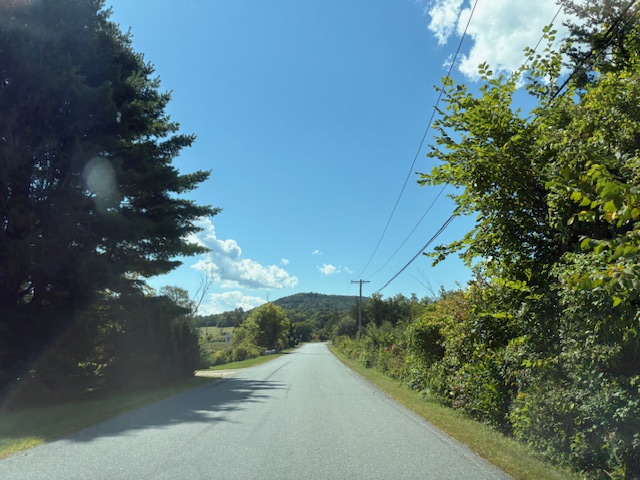
- Dirt Road: A Country Road made of dirt. The dirt composition of the road lends itself decently well to dog walking because the dirt discourages usage by motorized vehicles.
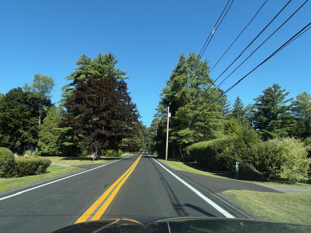
- Paved Road: A Country Road made of asphalt. Most of our Country Roads fall in this category, unfortunately. It is unfortunate because asphalt lends itself to motorized vehicle usage, which interacts very poorly with dog walking.
- Sidewalk: However, if one of these concrete walkways designed for people and dog walking is running alongside a paved Country Road, that makes the road safe for dog walking. If there is not a sidewalk running alongside the paved Country Road, it is an excellent indication that you should seek out a better option for dog walking.
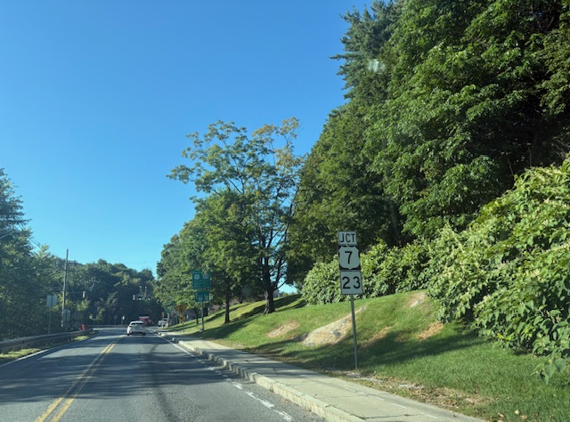
- Truck Route: A subcategory of paved, sidewalk-free Country Road favored by tractor trailers for its straightaways and connectivity to major interstate highways. Think Routes 41, 23, 71, 102, and 7. Literally the worst possible place you could choose to walk a dog or a human in this corner of the world.
- Housatonic Rail Trail: OK, now we’re talkin’! The Rail Trail is not a Country Road, per se, but rather an extinct railbed used in the olden days to enable trains to travel through the woods. But since trains no longer travel through those woods and there is zero danger of train-dog collisions, it qualifies as a very good place to walk dogs. It is flat. Part of it is paved for folks with mobility issues. It even features a poop-bag receptacle, which is perfect for those who are under the impression that the country houses poop-bag-collection fairies who swoop across the landscape while we sleep to keep the land plastic free.

- Housatonic River Walk: A charming, easy-to-navigate stroll along the Housatonic River north and south of Great Barrington, and though it can be accessed from right in the center of town, it is completely safe from traffic.

- Other Trails Located Nowhere Near Motorized Vehicles: But wait! There is so much more! Did you know that there are hundreds of miles of 18-wheeler-free trails through the woods, managed by the conservation organizations listed in Acknowledgements?
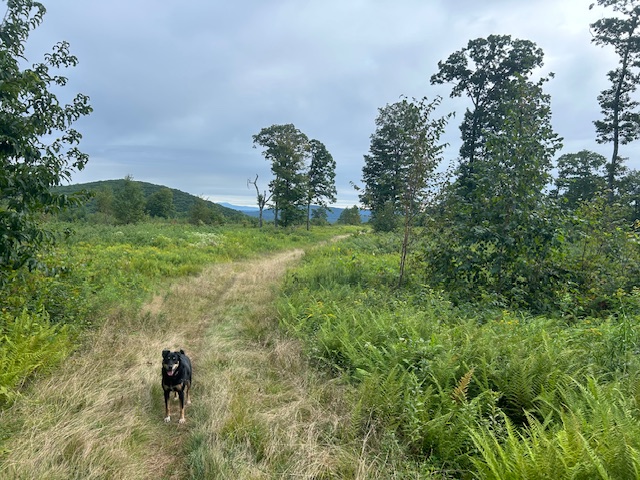
Southern Berkshire County is the site of countless paths meandering and climbing through vales and hills, across streams and beside lakes and rivers, and whose dappled sunlight and birdsong soothe the soul. I can assert through extensive personal experience that neither humans nor bears are likely to bother you there. In fact, I find that if you play the “Ezra Klein Show” loud enough, you are guaranteed to dissuade either from approaching. (For real, you are roughly 2,000 times more likely to be hurt by a car than a black bear in New England.)
Yes, the woods carry ticks, and some ticks carry Lyme. But walks in the woods do not equate to Lyme disease. Please get off the roads and into the woods. Please?
Acknowledgements
Thank you to the Berkshire Natural Resources Council, Trustees of Reservations, Housatonic River Walk, Massachusetts Department of Conservation and Recreation, the Appalachian Trail Conservancy, Mass Audubon, the Housatonic Valley Association, as well as our many land trusts for opening up to public use so much of this beautiful countryside’s forests and waterways.
To the people who would argue with the definitions and conclusions laid out in this light-hearted PSA, I look forward to your additions and corrections. Lastly, I would like to acknowledge my own remarkable magnanimity. There is truly nothing I like better than a quiet forest. There is truly nothing I like worse, however, than killing creatures who are walking in the road.